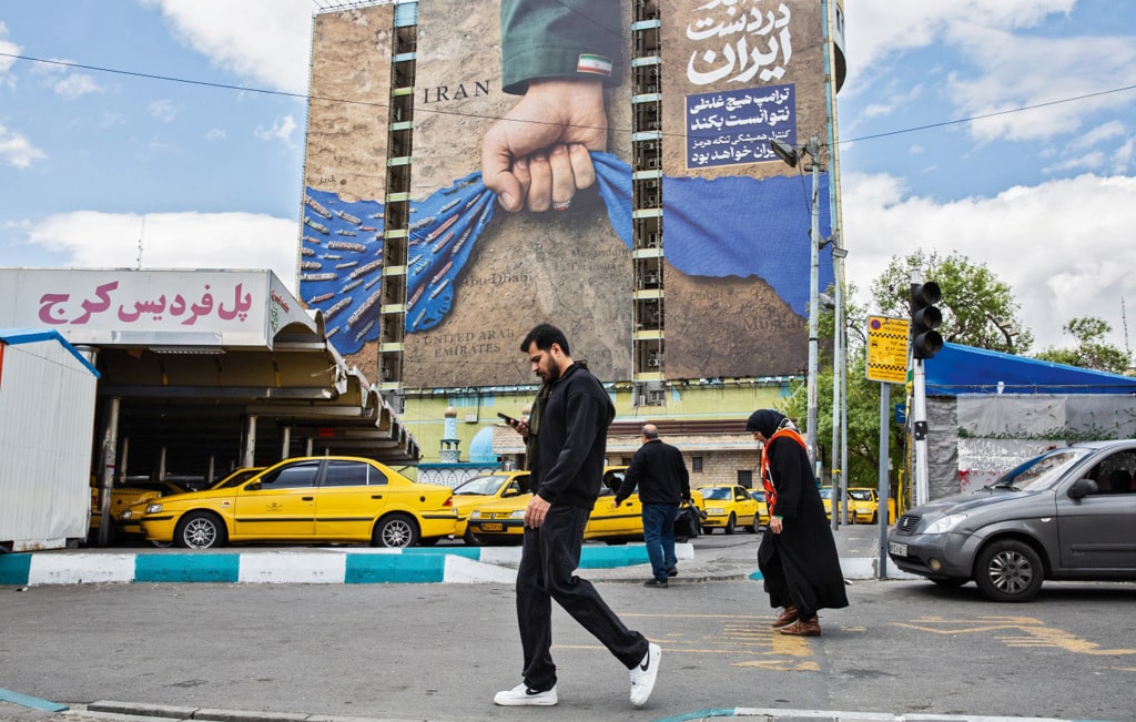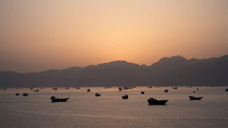
DUBAI, May 4 (Reuters) - Iran’s Revolutionary Guards navy issued a new map of the area of the Strait of Hormuz under its control on Monday, state media reported.
The area starts in the west with a line between the westernmost tip of Iran’s Qeshm island to the United Arab Emirates’ Umm al Quwain emirate. In the east, the area stops at a line between Iran’s Mount Mobarak and the UAE’s Emirate of Fujairah.
It was not immediately clear if and to what extenct their claimed area of control has changed.
(Reporting by Dubai Newsroom; Editing by Hugh Lawson)